Specialist ecological survey support
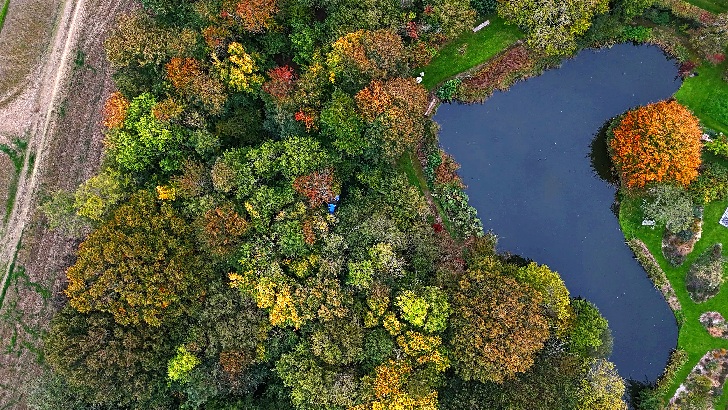
Aerial Ecology provides drone-based ecological survey support, habitat mapping, thermal imaging and spatial analysis for ecological consultancies across the UK.
Our workflows combine thermal drones, LiDAR, photogrammetry, GIS analysis and field-based ecological understanding to support surveys, reporting and technical interpretation.
We work collaboratively with consultancies and are open to research and development partnerships exploring new ecological survey method and environmental monitoring workflows.
Habitat mapping & Biodiversity Net Gain (BNG) assessments
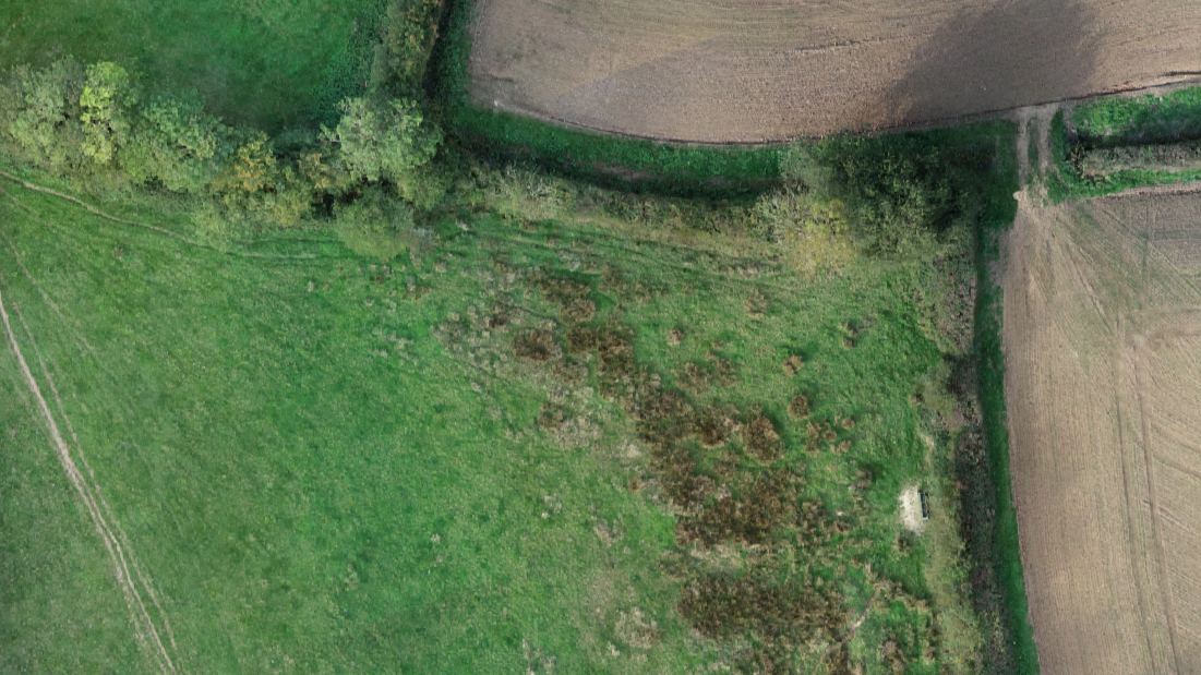
Habitat surveys and GIS support for Biodiversity Net Gain projects, including habitat mapping, baseline assessments and spatial analysis.
Drone imagery, LiDAR and GIS workflows can support large, complex or difficult-access sites.
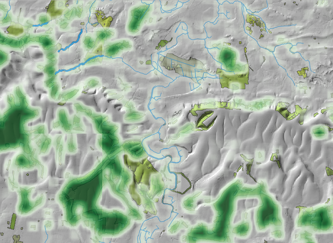
GIS analysis & Ecological Mapping
GIS support for ecological consultancies including habitat mapping, spatial analysis, suitability modelling and survey visualisation.
Research & development collaboration
Open to collaborative research exploring the use of drones in ecology: thermal workflows, computer vision, habitat analysis and ecological survey methods.
Interested in applied projects bridging ecology, technology and spatial analysis.
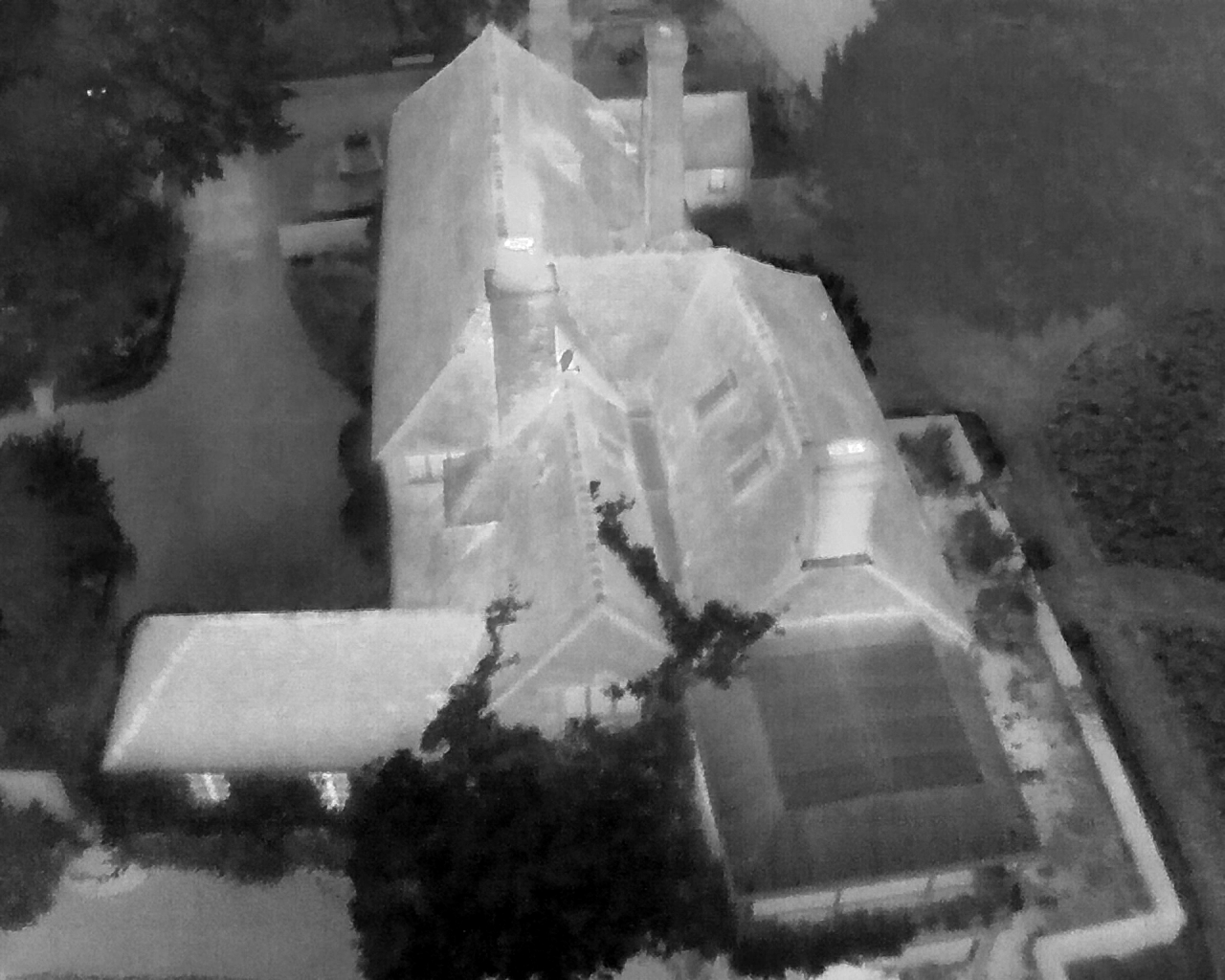
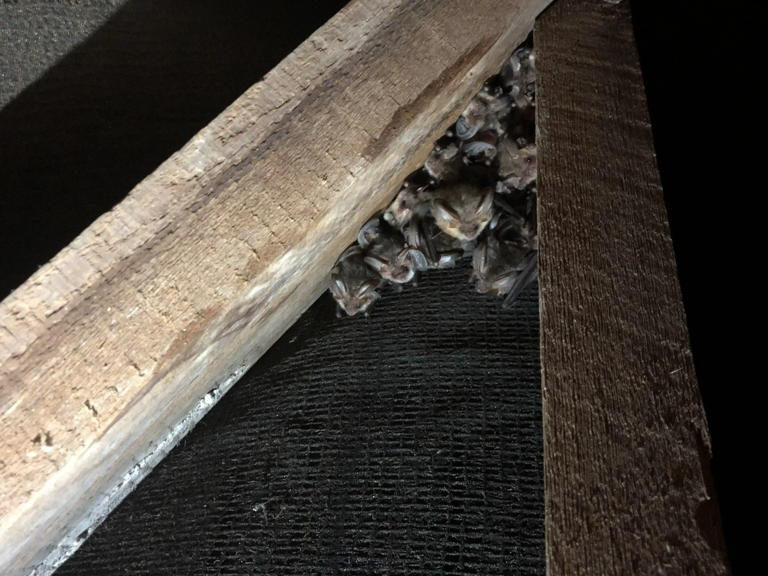
Drone Assisted Bat Emergence Surveys
Thermal drone surveys for bat emergence and re-entry surveys on churches, listed buildings, industrial sites and complex structures.
Thermal imaging can support improved survey coverage and assist with locating emergence points where traditional observation is constrained.
Protected Species Survey Support
Additional survey capacity and specialist technical support supporting ecological consultancies.
Services include bat sound analysis, report writing and technical review from PEAs to HRAs, survey design, mitigation advice and ECoW for bats.
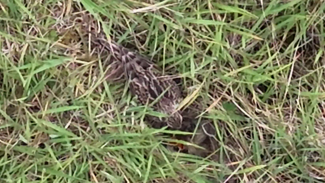
Supporting ecological consultancies with protected species surveys, habitat mapping and technical advice across the UK