Specialist ecological survey support
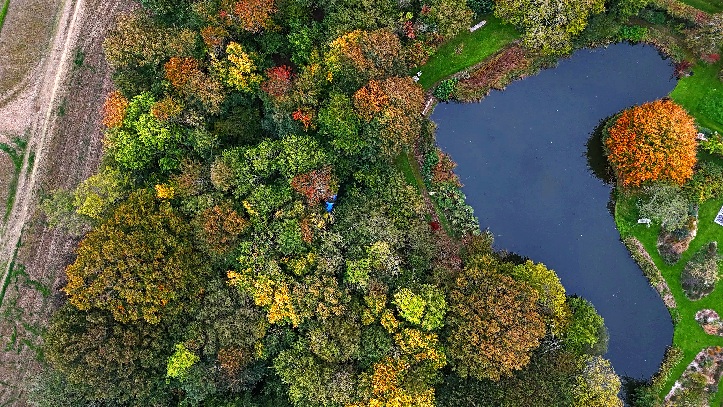
Aerial Ecology provides drone-based ecological survey support, habitat mapping, thermal imaging and spatial analysis for ecological consultancies across the UK.
Who We Are
Aerial Ecology was founded by Clara Gonzalez Hernandez BSc(Hons) MSc MCIEEM, an ecologist with over 10 years of consultancy experience.
Based in East Sussex, we support projects across Sussex, Surrey, Kent and Hampshire while providing specialist survey support throughout the UK.
Our work combines practical ecology with thermal imaging, GIS and drone technology to improve survey coverage and produce useful outputs for ecological decision making.
Our Team
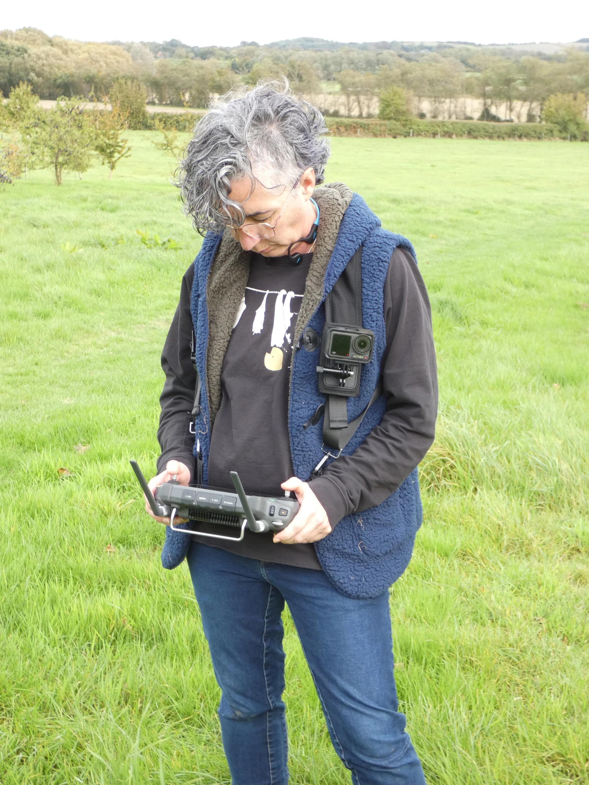
Clara Gonzalez Hernandez MSc MCIEEM
Founder | Principal EcologistClara is an ecological consultant specialising in thermal imaging, drone survey workflows, GIS analysis and technical ecological interpretation.
Her work combines field ecology with spatial analysis and emerging survey technologies to support protected species surveys, habitat assessment and technically complex projects.
She works across survey support, habitat mapping, bat sound analysis, technical reporting and ecological QA for consultancies across the UK.
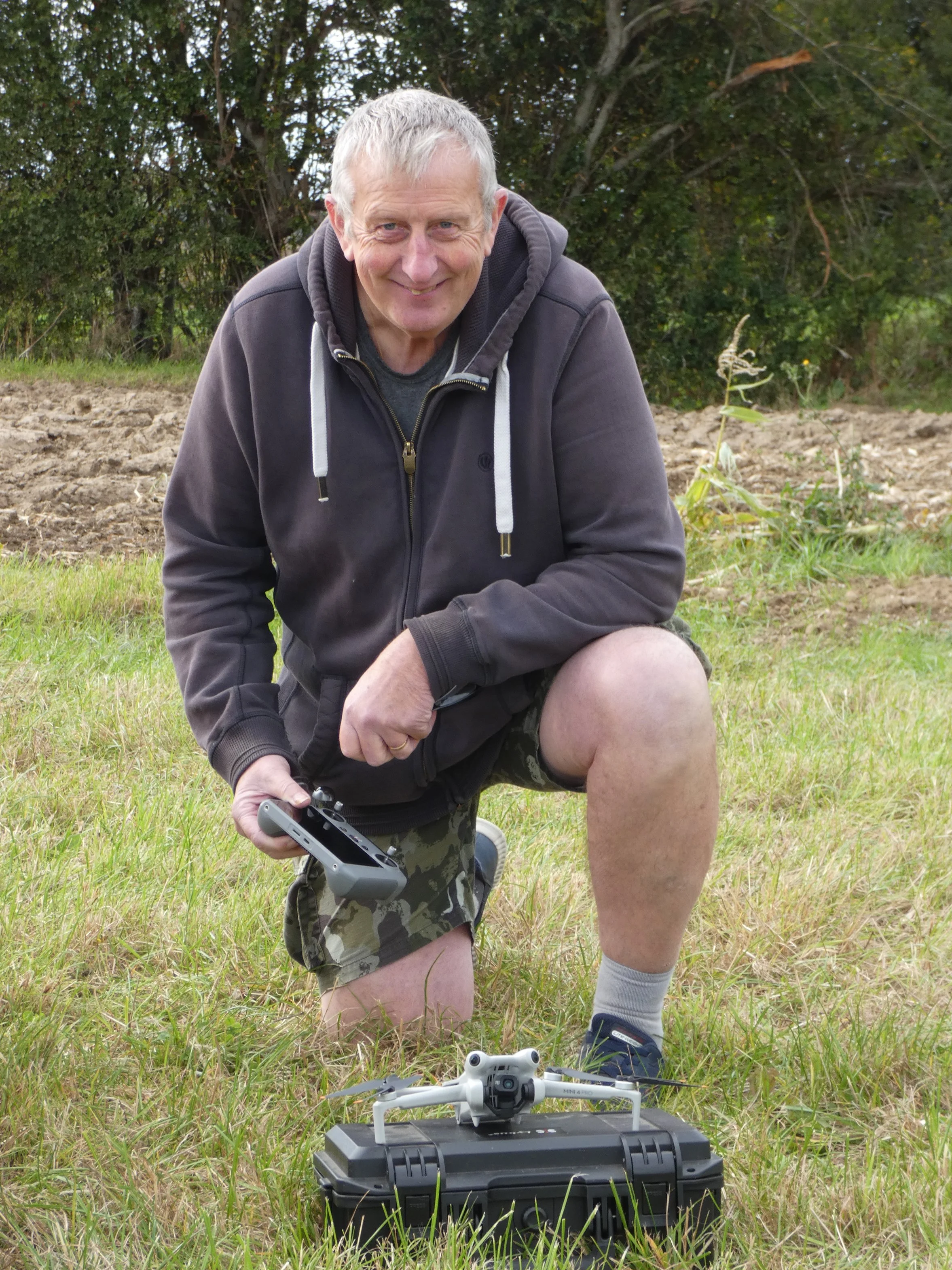
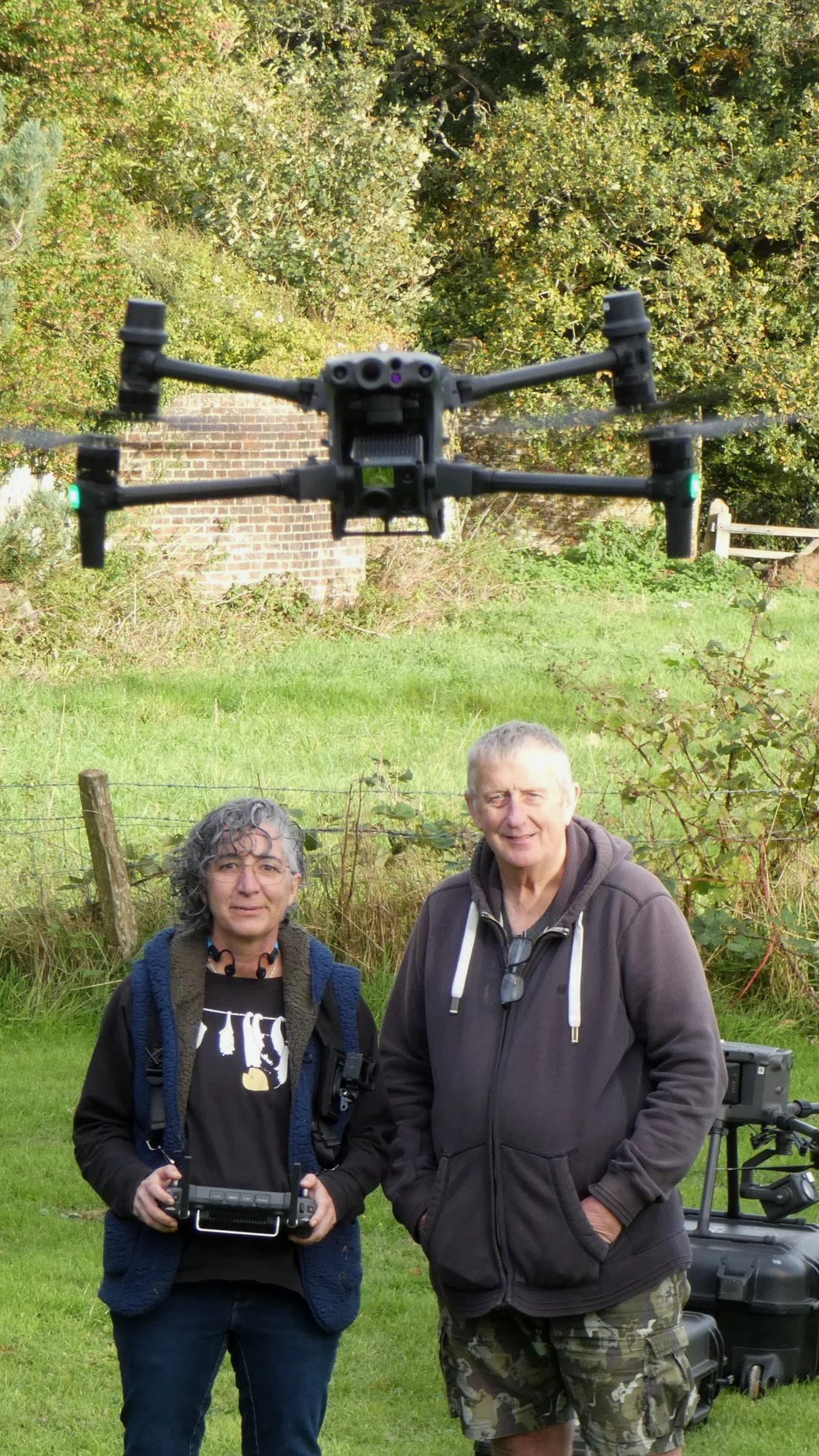
Head of Aerial OperationsRobert Wallace MA PCIfA
Rob oversees aerial operations and field deployment for Aerial Ecology.
Originally trained as an archaeologist, he directs the Culver Archaeological Project and has extensive experience coordinating field-based survey work.
Since 2017, Rob has supported protected species surveys with a particular focus on bat survey assistance, field logistics and multi-equipment workflows.
Supporting ecological consultancies with protected species surveys, habitat mapping and technical advice across the UK